

 Image 1 of 3
 Image 2 of 3
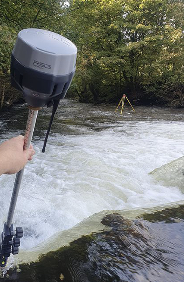 Image 3 of 3
What’s included in your Regenerative Farm Plan?
Farm map identifying anticipated growing areas, windbreaks, access roads, fencing, irrigation lines, farm structures (e.g. farm nursery, barn, workshop etc.), and placement for soil-building systems;
Map of the soil type(s) on your farm and soil sampling locations;
USGS Soil Survey overview of the physical, chemical and biological properties and management challenges of your soil type;
Standard soil fertility lab tests & recommendations for amending nutrient imbalances in the soil;
Carbon and soil health lab tests & recommendations for regenerative practices to improve soil health and carbon sequestration capacity;
Recommendations for setting up one priority regenerative farm systems (e.g. vermicast, compost, cover crop rotation plan);
18 month timeline for prepping, installing, and maintaining priority projects and general costing information for each project;
5 year general timeline of projects as identified on your farm map;
Detailed design for one priority projects;
Basic projections of estimated yield, potential revenue, and rough estimates of inputs and labor for one main crop and the potential tons per year of carbon sequestration projected;
Suggested crops ideal for your soil type and climate.
Pricing
Farm plans are charged at the rate of $100 per hour, with most plans ranging from $500 to $2,2000 depending on the complexity of the plan. The planning process starts with the two hour site visit and collection of soil samples (charged at a flat rate of $275). During the visit the client receives a one hour consultation. The additional hour is spent taking base layer measurements and a soil sample. Additional hours of onsite consultation are $75 per hour. Background information is provided from the client’s questionnaire completed prior to the visit via email. *Plans include the price for 1 soil sample.
Add-ons for additional lab tests include:
$250 - additional soil fertility test with soil amendment & fertilizer recommendations for a main crop;
$50 - Carbon to Nitrogen Ration (C:N ratio);
$75- Leaf tissue sample, submission & analysis to determine nutrient uptake and cycling in indicator crops;
$100 to $180- Testing for concerning levels of Hepatchlor or Dibromochloropropane (DBCP) if there is a prior land use of pineapple production or glyphosate.
Soil paste fertility tests & summary of the amount of nutrient contributions from both your soil and irrigation water, including any issues with bio-carbonates. [only recommended for some sites and at an additional costs]
Add-ons for additional services:
$250- Drone imagery;
Detailed installation and maintenance designs for additional priority projects;
Irrigation plans and water use estimates by crop(s).
*Please inquire about reduced pricing or services for less comprehensive farm plans less than 2 acres.